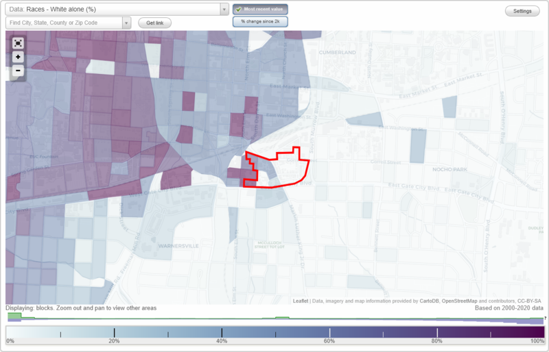
Southside neighborhood in Greensboro, North Carolina (NC), 27406 detailed profile
Settings
X

Business Search - 14 Million verified businesses
Area: 0.046 square miles
City-data.com crime index for city in 2020 (higher means more crime):
| City: | 435.6 |
| U.S. average: | 219.5 |
Highways in this neighborhood:
State Hwy 6 (E Lee St)
Length: 0.09 miles
Direction: E-W
Direction: E-W
Roads and streets:
Martin Luther King Jr Dr
Length: 0.30 miles
Directions: E-W, SE-NW
Address range: 100 to 399
Directions: E-W, SE-NW
Address range: 100 to 399
Murray St
Length: 0.25 miles
Directions: E-W, N-S, SE-NW, SW-NE
Address range: 200 to 344
Directions: E-W, N-S, SE-NW, SW-NE
Address range: 200 to 344
Garden Aly
Length: 0.13 miles
Directions: E-W, N-S, SE-NW, SW-NE
Directions: E-W, N-S, SE-NW, SW-NE
Pocket Park Aly
Length: 0.12 miles
Directions: E-W, SW-NE
Directions: E-W, SW-NE
E Lewis St
Length: 0.11 miles
Directions: E-W, N-S, SE-NW
Address range: 200 to 299
Directions: E-W, N-S, SE-NW
Address range: 200 to 299
Mc Adoo Ave
Length: 0.09 miles
Direction: N-S
Address range: 400 to 499
Direction: N-S
Address range: 400 to 499
Arlington St
Length: 0.07 miles
Direction: N-S
Address range: 400 to 448
Direction: N-S
Address range: 400 to 448
Side Aly
Length: 0.07 miles
Directions: E-W, N-S, SE-NW, SW-NE
Directions: E-W, N-S, SE-NW, SW-NE
Frankie Aly
Length: 0.06 miles
Directions: E-W, N-S, SE-NW
Directions: E-W, N-S, SE-NW
Southside Sq
Length: 0.05 miles
Direction: E-W
Address range: 200 to 299
Direction: E-W
Address range: 200 to 299
Tin Pan Aly
Length: 0.05 miles
Direction: N-S
Direction: N-S
City View Aly
Length: 0.05 miles
Directions: N-S, SE-NW
Directions: N-S, SE-NW
Rainbow Aly
Length: 0.03 miles
Directions: E-W, SW-NE
Directions: E-W, SW-NE
Melrose Ct
Length: 0.02 miles
Directions: E-W, SE-NW
Address range: 100 to 198
Directions: E-W, SE-NW
Address range: 100 to 198
McAdoo Ave
Length: 0.00 miles
Direction: N-S
Direction: N-S