Property valuation of W Camp Branch Road, Scranton, SC: 1148, 1203, 1208, 1220, 1259, 1267, 1267, 1267, 1267, 1411, 1430, 1435 (tax assessments)

Listed properties vs overall distribution of properties in Scranton, SC:
1148 W Camp Branch Road
Scranton, SC
Find on map >>
Owner: YARBOROUGH THOMAS C
Ownership: Private
Property use: Residential Improved
Topography: Level
Street access: Paved
Utilities: Well, Septic, Electricity
Fronting traffic: Light
Land value: $12,678
Building value: $50,525
Total assessed value for property: $63,203
Land area: 8,712,000 square feet
Number of buildings on parcel: 1
Assessment for fiscal year: 2012
1203 W Camp Branch Road
Scranton, SC
Find on map >>
Owner: STEELE ROBBIE LEE
Ownership: Private
Property use: Residential Improved
Topography: Level
Street access: Paved
Utilities: Well, Septic, Electricity
Fronting traffic: Light
Land value: $7,080
Building value: $128,568
Total assessed value for property: $135,648
Land area: 7,623,000 square feet
Number of buildings on parcel: 1
Assessment for fiscal year: 2012
1208 W Camp Branch Road
Scranton, SC
Find on map >>
Owner: SAULS W C
Ownership: Private
Property use: Residential Improved
Topography: Level
Street access: Paved
Utilities: Well, Septic, Storm Sewer, Electricity
Fronting traffic: Light
Land value: $7,003
Building value: $68,119
Total assessed value for property: $75,122
Land area: 4,268,880 square feet
Number of buildings on parcel: 2
Assessment for fiscal year: 2012
1220 W Camp Branch Road
Scranton, SC
Find on map >>
Owner: SAULS W C & MARIA H
Ownership: Private
Property use: Farm Vacant
Topography: Level
Street access: Paved
Utilities: Well, Septic, No Utilities
Fronting traffic: Light
Land value: $6,908
Total assessed value for property: $6,908
Land area: 17,424,000 square feet
Assessment for fiscal year: 2012
1259 W Camp Branch Road
Scranton, SC
Find on map >>
Owner: STEELE OLSON RUDOLPH
Ownership: Private
Property use: Farm Vacant
Topography: Level
Street access: Paved
Fronting traffic: Med.
Land value: $96
Total assessed value for property: $96
Land area: 2,613,600 square feet
Assessment for fiscal year: 2012
Scranton, SC
Find on map >>
Owner: STEELE OLSON RUDOLPH
Ownership: Private
Property use: Farm Vacant
Topography: Level
Street access: Paved
Fronting traffic: Med.
Land value: $96
Total assessed value for property: $96
Land area: 2,613,600 square feet
Assessment for fiscal year: 2012
1267 W Camp Branch Road
Scranton, SC
Find on map >>
Owner: STEELE OLSON RUDOLPH
Ownership: Private
Property use: Residential Improved
Topography: Level
Street access: Paved
Utilities: Gas, Well, Septic, Electricity
Fronting traffic: Med.
Land value: $9,020
Building value: $103,861
Total assessed value for property: $112,881
Land area: 7,230,960 square feet
Number of buildings on parcel: 2
Assessment for fiscal year: 2012
1411 W Camp Branch Road
Scranton, SC
Find on map >>
Owner: JORDAN ALVA L
Ownership: Private
Property use: Farm Vacant
Topography: Level
Street access: Paved
Utilities: Well, Septic, Electricity
Fronting traffic: Light
Land value: $7,192
Total assessed value for property: $7,192
Land area: 113,343,120 square feet
Assessment for fiscal year: 2012
1430 W Camp Branch Road
Scranton, SC
Find on map >>
Owner: NEW ZION BAPTIST CHURCH
Ownership: Private
Property use: Farm Vacant
Topography: Level
Street access: Paved
Utilities: Electricity
Fronting traffic: Med.
Land value: $2,264
Total assessed value for property: $2,264
Land area: 46,304,280 square feet
Assessment for fiscal year: 2012
1435 W Camp Branch Road
Scranton, SC
Find on map >>
Owner: DENNIS EVERETTE RONALD
Ownership: Private
Property use: Residential Improved
Topography: Level
Street access: Paved
Utilities: Well, Septic, Electricity
Fronting traffic: Light
Land value: $9,090
Building value: $27,463
Total assessed value for property: $36,553
Land area: 6,316,200 square feet
Number of buildings on parcel: 1
Assessment for fiscal year: 2012
Business Search
14 Million Businesses in 12,000 Categories
14 Million Businesses in 12,000 Categories
Settings
X

Recently Added Photos

Greenville, SC

Columbia, SC

Columbia, SC

Columbia, SC

Greenville, SC

Greer, SC

Fountain Inn, SC

Greenville, SC

Columbia, SC

Columbia, SC

Taylors, SC

Greenville, SC
Request disassociating your name from street-level assessment address

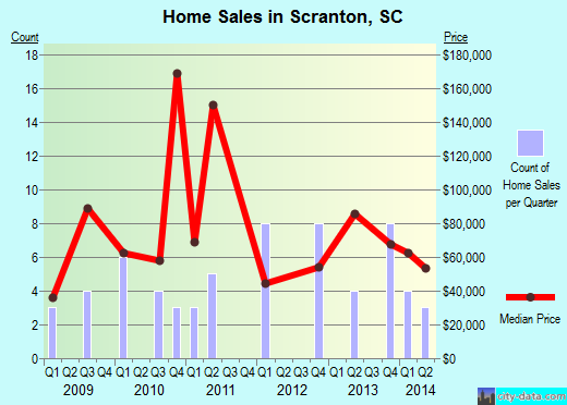
Recent home sales, price trends, and home value evaluator powered by Onboard Informatics
© 2024 Onboard Informatics. Information is deemed reliable but not guaranteed.
© 2024 Onboard Informatics. Information is deemed reliable but not guaranteed.
Some parts © 2024 Advameg, Inc.
Compilation, repackaging, or reproduction prohibited. Users are forewarned that it is incumbent upon them to verify information with the responsible state agency. Advameg, Inc. does not guarantee the data presented is up-to-date nor does it assume responsibility for updating it. Therefore any names, owners or addresses may have changed. Use of any information published here to contact the persons might be prohibited by the law.