Please register to participate in our discussions with 2 million other members - it's free and quick! Some forums can only be seen by registered members. After you create your account, you'll be able to customize options and access all our 15,000 new posts/day with fewer ads.
How can your lowest ever min only be -7c when your low is 1.1c?
My average low is 0.8c and my lowest temp is around -18c.
Just the climate in these parts. As soon as it hits a certain temperature, cold air flows down from the mountains or a land breeze kicks in. Both stop temps from dropping further.
Hmm it must be like that here too because sometimes it gets to 0c and stops
Here it happens without fail. Sometimes the wind will start at 0C and other times at -5C, but it will always arrive. It usually stops an hour or so after sunrise.
It's in the 60s in Southeast Nebraska and teens in Western half of Nebraska.
Notice the strong squal line heading into Iowa.
Blue outline is heavy freezing rain discussion.
Pink outline is Severe watch potential.
Notice the 60mph wind gust report also
Check out the deep blues on this map, which signify deep negative departures from average. Also note the relatively ordinary warmth in the East:
The huge cold in the west-central region isn't even the biggest story - the biggest story is the temperature change. Denver got up to 72F yesterday and plummeted to 15F this morning, a temperature drop of 57F. Today's forecast high is around 20F, so today's high will be over 50F colder than yesterday's. That's big stuff even by Front Range standards. It looks like 4-7 PM yesterday was when the temperature drop and high winds really began, and there was widespread blowing dust associated with frontal passage. Mike Siedel in Aurora said there was also thunder and lightning where he was at this time.
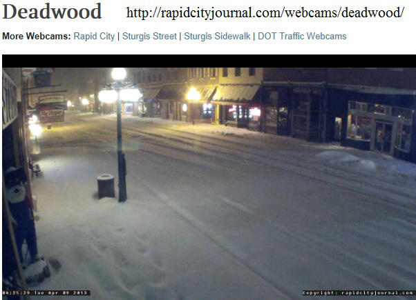
0705 AM ICE STORM 2 W ANSELMO 41.62N 99.90W
CUSTER, NE CO-OP OBSERVER
SOME TREE DAMAGE WAS OBSERVED. THE PRECIPITATION TOTAL WAS 1.75 INCHES.
Please register to post and access all features of our very popular forum. It is free and quick. Over $68,000 in prizes has already been given out to active posters on our forum. Additional giveaways are planned.
Detailed information about all U.S. cities, counties, and zip codes on our site: City-data.com.

 Please register to participate in our discussions with 2 million other members - it's free and quick! Some forums can only be seen by registered members. After you create your account, you'll be able to customize options and access all our 15,000 new posts/day with fewer ads.