Please register to participate in our discussions with 2 million other members - it's free and quick! Some forums can only be seen by registered members. After you create your account, you'll be able to customize options and access all our 15,000 new posts/day with fewer ads.
For those that read my posts on the CT Weather thread I apologize for posting some things twice. Sometimes my posts are for a larger area and I know more folks are in here for that.
Mid Week Storm Update::
Some folks will try to continue to use "hope" for this storm that was shown. No models show it now so moving on. Hand it to the GFS for showing up the Euro this time.
Consistancy was key so when Euro was consistently showing it we couldn't ignore it. But GFS was consistently showing nothing. So when Euro went to the GFS idea it was over.
Now all models consistently showing nothing even though we're still 4-5 days away. They are picking up the fact that there wont be any phase of the Jets this time and no closed low. Nice to see agreement this far out.
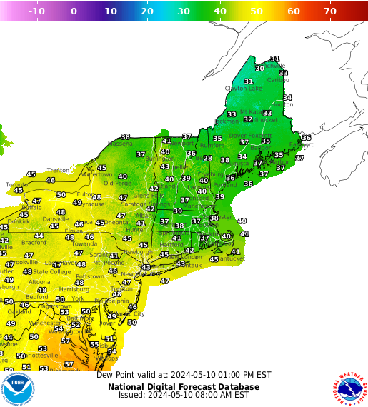
However, get ready for some white stuff Tuesday morning along the Arctic front..... or will it? At this point with the drought we have on hand in this area the NAM might be the right one to believe.
GFS says a strip of light snow from TN Valley to New England along the front Tues morn. NAM shows more dry air around. Either way... it's going to get very cold mid week.
Strong winds are forecasted for Sunday evening and Monday night/morning in Italy, associated to a cold air outbreak from Northwestern Europe. Cold air mainly flow towards Italy and the Mediterreanean through Postojna Valley in Slovenia and some minor croatian valleys.
Note the Mistral wind on the Ligurian Sea and the Bora wind on the Upper Adriatic.
Heavy rainfall amounts are expected in the regions of Romagna, Marche, Abruzzo and Molise, especially in the Apennines due to orographic lifting. Main peaks of the central Apennines will probably get the first snow of the season.
Along Rimini's coastline winds are going to blow up to 100 km/h (62 mph, grey color), producing a storm surge (I hope not!).
Image from MeteoLive.it
Please register to post and access all features of our very popular forum. It is free and quick. Over $68,000 in prizes has already been given out to active posters on our forum. Additional giveaways are planned.
Detailed information about all U.S. cities, counties, and zip codes on our site: City-data.com.

 Please register to participate in our discussions with 2 million other members - it's free and quick! Some forums can only be seen by registered members. After you create your account, you'll be able to customize options and access all our 15,000 new posts/day with fewer ads.


") At this point with the drought we have on hand in this area the NAM might be the right one to believe.
At this point with the drought we have on hand in this area the NAM might be the right one to believe. 


