Please register to participate in our discussions with 2 million other members - it's free and quick! Some forums can only be seen by registered members. After you create your account, you'll be able to customize options and access all our 15,000 new posts/day with fewer ads.
5pm Update... I see 1 difference in their track and strength... Hooks left a bit AS A CAT 1 HURRICANE which means its strengthening as it comes up. Nuts its slowing down and making that left then making a right again without making landfall...I think. Gees.
AND NOTICE.... 2PM SUNDAY WHERE IT IS.... 2PM MONDAY.... 2PM TUESDAY....2PM WEDNESDAY... CRAZY!
Quote:
NWS NATIONAL HURRICANE CENTER MIAMI FL AL092016
500 PM EDT FRI SEP 02 2016
...CENTER OF HERMINE PASSING NEAR CHARLESTON WITH STRONG WINDS
AND HEAVY RAIN...
...DANGEROUS STORM SURGE EXPECTED IN THE HAMPTON ROADS AREA...
SUMMARY OF 500 PM EDT...2100 UTC...INFORMATION
----------------------------------------------
LOCATION...33.0N 80.5W
ABOUT 30 MI...50 KM WNW OF CHARLESTON SOUTH CAROLINA
ABOUT 55 MI...90 KM NNE OF HILTON HEAD ISLAND SOUTH CAROLINA
MAXIMUM SUSTAINED WINDS...50 MPH...85 KM/H
PRESENT MOVEMENT...NE OR 55 DEGREES AT 20 MPH...31 KM/H
MINIMUM CENTRAL PRESSURE...993 MB...29.33 INCHES
DISCUSSION AND 48-HOUR OUTLOOK
------------------------------
At 500 PM EDT (2100 UTC), the center of Tropical Storm Hermine was
located by NOAA Doppler radar and surface observations inland
over southern South Carolina near latitude 33.0 North, longitude
80.5 West. Hermine is moving toward the northeast near 20 mph (31
km/h) and this motion is expected to continue through Sunday with a
gradual decrease in forward speed during that time. On the
forecast track, the center of Hermine will move across coastal
South Carolina this evening, move across coastal North Carolina
tonight and Saturday morning, and move offshore of the North
Carolina coast by Saturday afternoon.
Maximum sustained winds are near 50 mph (85 km/h) with higher gusts.
Little change in strength is expected tonight and early Saturday
while the center of Hermine remains over land. Strengthening is forecast after the center moves offshore, and Hermine could be near hurricane intensity by late Sunday.
Tropical-storm-force winds extend outward up to 185 miles (295 km),
mainly to the south and east of the center.
A station at Folly Island, South Carolina, recently reported a
sustained wind of 44 mph (70 km/h) and a gust of 59 mph (94 km/h).
Buoy 41029, located just northeast of Charleston Harbor, recently
reported a sustained wind of 40 mph (65 km/h) and a wind gust of 58
mph (94 km/h).
The estimated minimum central pressure based on surface observations
is 993 mb (29.33 inches).
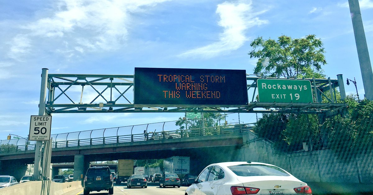
Winds have died down and the sun came out at 7 PM (just one hour before sunset). My rainfall totals from this storm were about 4.8 inches.
Wow... and that's within 24hrs I believe? I haven't even had a chance to look at the rainfall totals. Last I saw was pretty much 5-10" from it in FL, GA, SC.
Please register to post and access all features of our very popular forum. It is free and quick. Over $68,000 in prizes has already been given out to active posters on our forum. Additional giveaways are planned.
Detailed information about all U.S. cities, counties, and zip codes on our site: City-data.com.

 Please register to participate in our discussions with 2 million other members - it's free and quick! Some forums can only be seen by registered members. After you create your account, you'll be able to customize options and access all our 15,000 new posts/day with fewer ads.