Lockport, Illinois Neighborhood Map - Income, House Prices, Occupations, Boundaries
Data:
- City boundary
- Neighborhood boundaries
Business Search - 14 Million verified businesses
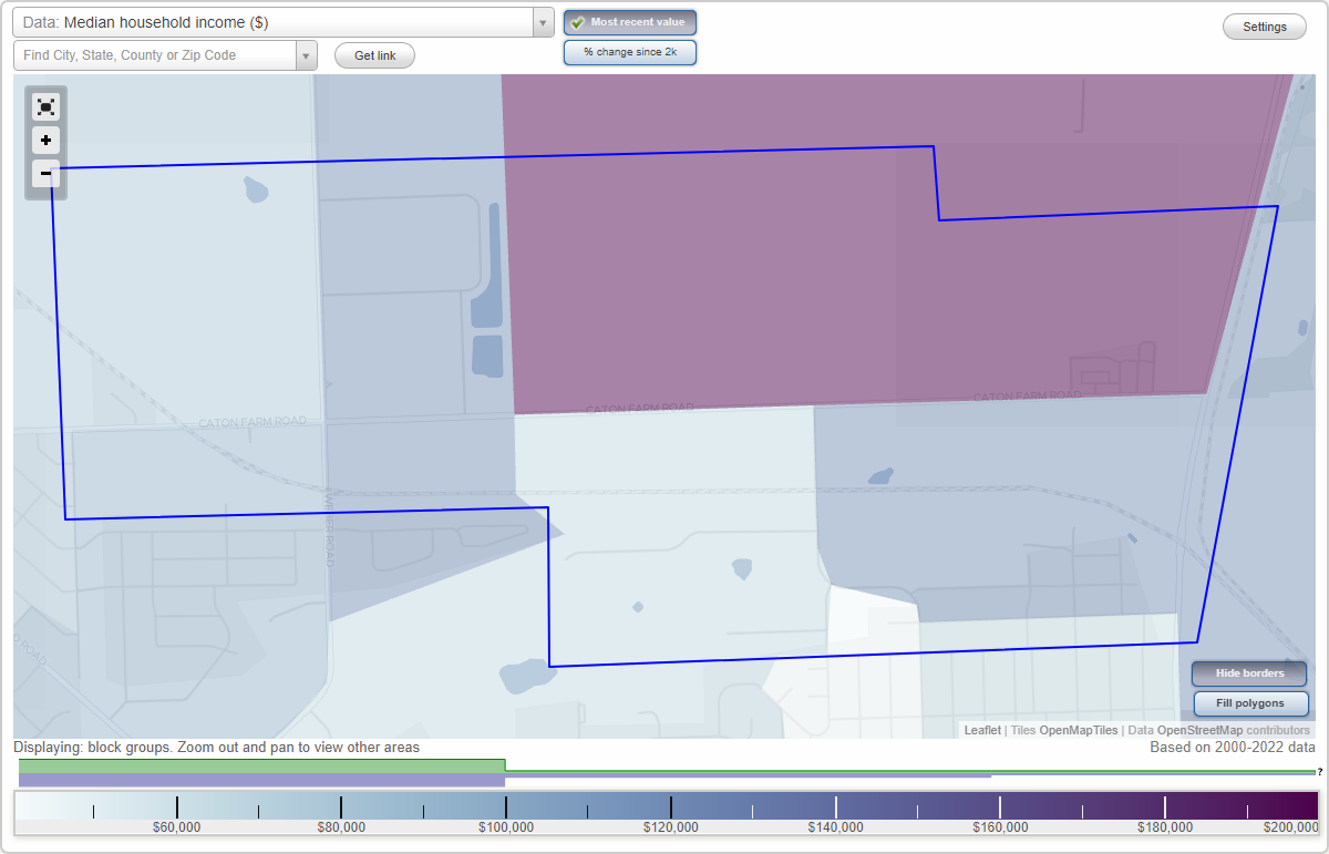
Rockdale Junction neighborhood in Lockport statistics: (
Find on map)
Area: 2.004
square milesHighways in this neighborhood: State Rte 7 (Broadway St, N Broadway St, State Rte 53).
Roads and streets: Caton Farm Rd (W Caton Farm Rd); Elsie Ave; Chaney Ave; Sak Dr; Pasadena Ave; Oakland Ave; Brian Dr; Center St; Hoffman St; Grandview Ave; Hawthorne St (Hawthorne); N Raynor Ave; Weber Rd; Birkey St; Dorothy Ct; Durness Ct; Chaney Ct; N Hickory St; Copper Ct.
Railroad features: Elgin Joliet and Eastern Rlwy; Industrial RR.
Rockdale Junction neighborhood detailed profile
- All U.S. Cities
- Illinois, IL smaller cities, IL small cities
- Lockport, IL
- US Neighborhood Maps
- Lockport, Illinois Neighborhood Map

