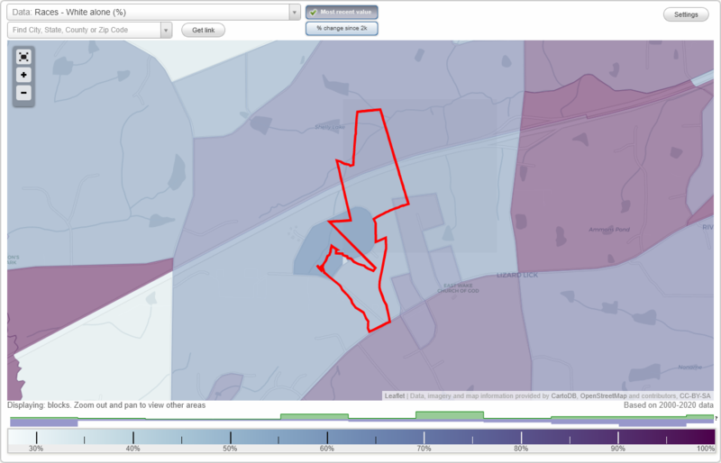
Gaylee Village neighborhood in Wendell, North Carolina (NC), 27591 detailed profile
Settings
X

Business Search - 14 Million verified businesses
Area: 0.200 square miles
City-data.com crime index for town in 2020 (higher means more crime):
| City: | 96.9 |
| U.S. average: | 219.5 |
Highways in this neighborhood:
State Hwy 97
Length: 0.14 miles
Direction: SW-NE
Address range: 2801 to 2817
Direction: SW-NE
Address range: 2801 to 2817
Roads and streets:
Fox Run Dr (State Rd 2401)
Length: 0.45 miles
Directions: N-S, SE-NW
Address range: 100 to 299
Directions: N-S, SE-NW
Address range: 100 to 299
State Rd 2394 (Heritage Dr)
Length: 0.37 miles
Direction: SE-NW
Address range: 1116 to 1134
Direction: SE-NW
Address range: 1116 to 1134
Vista Dr (State Rd 2390)
Length: 0.33 miles
Directions: E-W, N-S, SE-NW, SW-NE
Address range: 1406 to 1511
Directions: E-W, N-S, SE-NW, SW-NE
Address range: 1406 to 1511
State Rd 2401 (Windy Hill Dr)
Length: 0.22 miles
Direction: E-W
Address range: 300 to 317
Direction: E-W
Address range: 300 to 317
Lee St (State Rd 2403)
Length: 0.16 miles
Directions: N-S, SE-NW
Address range: 100 to 206
Directions: N-S, SE-NW
Address range: 100 to 206
State Rd 2414 (Indian Trl)
Length: 0.16 miles
Direction: N-S
Address range: 200 to 312
Direction: N-S
Address range: 200 to 312
N Gaylee Lake Dr (State Rd 2401)
Length: 0.13 miles
Direction: N-S
Address range: 100 to 313
Direction: N-S
Address range: 100 to 313
Beaver St
Length: 0.11 miles
Direction: E-W
Address range: 101 to 407
Direction: E-W
Address range: 101 to 407
Quail Run (State Rd 2415)
Length: 0.11 miles
Direction: E-W
Address range: 101 to 412
Direction: E-W
Address range: 101 to 412
State Rd 2402 (Rhodes St)
Length: 0.10 miles
Direction: E-W
Address range: 200 to 208
Direction: E-W
Address range: 200 to 208
Ridge St
Length: 0.06 miles
Direction: SW-NE
Address range: 1501 to 1509
Direction: SW-NE
Address range: 1501 to 1509