Quote:
Originally Posted by chicagogeorge

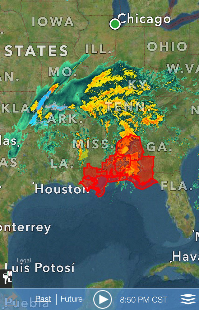
Latest
]
|
I was loooking at the radar last night thinking hmmmm, this is looking good for you. Lots of moisture and on west side of storm... Blizzard Warnings are out.
349 AM CST WED FEB 24 2016
...BLIZZARD WARNING IN EFFECT UNTIL 9 PM CST THIS EVENING...
THE NATIONAL WEATHER SERVICE IN LINCOLN HAS ISSUED A BLIZZARD
WARNING...WHICH IS IN EFFECT UNTIL 9 PM CST THIS EVENING. THE
WINTER STORM WARNING IS NO LONGER IN EFFECT.
* TIMING...SNOW WILL CONTINUE ACROSS THE AREA THIS MORNING...OR
WILL QUICKLY DEVELOP WHERE IT HAS NOT ALREADY DONE SO. THE SNOW
WILL BEGIN TO TAPER OFF LATE THIS AFTERNOON OR EARLY THIS
EVENING.
* WINDS/VISIBILITY...NORTH TO NORTHEAST WINDS OF 25 TO 35
MPH...WITH GUSTS TO 45 OR 50 MPH WILL COMBINE WITH THE SNOW TO
PRODUCE NEAR WHITEOUT CONDITIONS AT TIMES. THE WINDS WILL ALSO
CAUSE TRAVEL DIFFICULTIES FOR HIGH PROFILE VEHICLES...ESPECIALLY
ON WEST TO EAST ORIENTED ROADWAYS.
* SNOW ACCUMULATIONS...6 TO 9 INCHES OF SNOW ARE EXPECTED ACROSS
THE AREA WITH LOCALLY HIGHER AMOUNTS POSSIBLE.
* MAIN IMPACT...WIND DRIVEN WET SNOW WILL PRODUCE NEAR WHITEOUT
CONDTIONS AT TIMES. TRAVEL WILL BECOME EXTREMELY HAZARDOUS AND
SHOULD BE AVOIDED IF POSSIBLE

 Please register to participate in our discussions with 2 million other members - it's free and quick! Some forums can only be seen by registered members. After you create your account, you'll be able to customize options and access all our 15,000 new posts/day with fewer ads.