Please register to participate in our discussions with 2 million other members - it's free and quick! Some forums can only be seen by registered members. After you create your account, you'll be able to customize options and access all our 15,000 new posts/day with fewer ads.
There is an easy formula to determine how far you can see from a mountain top to a sea level area. Obviously the Earth's curvature is the limiting factor, and the higher we go, the farther we see.
D^2 + R^2 = (R + h)^2
In which
R = Earth's radius (6371 km)
D = Distance
h = Observer's height
As we need to find D, it becomes
D = (2hR + h^2)^0.5
If we want to know how far we can see from Mt Aconcagua to a sea level area (let's say the Pacific Ocean to the west), we have:
D = (2 * 6.960 * 6371 + 6.960^2) ^ 0.5 D = 298 km
So you can see up to 298 km to the west from the top of Mt Aconcagua. Beyond that, the sea stays below the horizon. Anyway, this is more than twice the distance between the mountain and the Chilean coast! Obviously these figures are approximate, as Earth's not a perfect sphere, the radius varies depending upon latitude/direction, plus refraction may play a role too.
However.... this formula applies for sea level places... if the focused object is another mountain top, it may be high enough to emerge from below the horizon, and this is what actually happens in many cases.
That's not very impressive for such a huge country tbh.
It's a fact, Brazil is a country of low heights. Even this peak is located near the border with Venezuela, far away of every major or even middle-size city. The highest city is Campos do Jordão, 1,628 m high and about 2h far from São Paulo. The highest point which I visited is Mount Titlis, in Switzerland: 3,238 m (also the lower temperature which I experienced: -15°C)
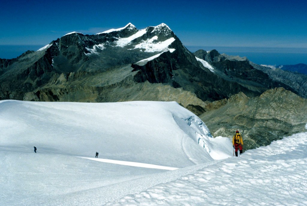
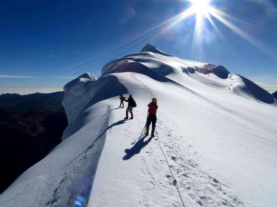
As you've seen, when you have an American audience, you ask about their state, not the whole country. I live in Colorado, with 58 mountains over 14000 feet (4267 meters). Each has its own unique summit and views.
There is an easy formula to determine how far you can see from a mountain top to a sea level area. Obviously the Earth's curvature is the limiting factor, and the higher we go, the farther we see.
D^2 + R^2 = (R + h)^2
In which
R = Earth's radius (6371 km)
D = Distance
h = Observer's height
As we need to find D, it becomes
D = (2hR + h^2)^0.5
If we want to know how far we can see from Mt Aconcagua to a sea level area (let's say the Pacific Ocean to the west), we have:
D = (2 * 6.960 * 6371 + 6.960^2) ^ 0.5 D = 298 km
Nice! I was just about to mention this. Curvature of the Earth affects on how far you can see surely so almost all initial examples given by the OP are nigh on impossible.
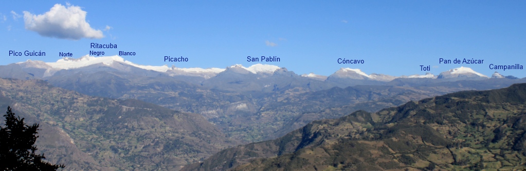
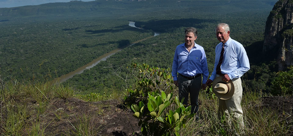
Colombia's highest points range from 17,500ft to 2 peaks both reaching 18,963ft. Various interesting things can be seen from a few:
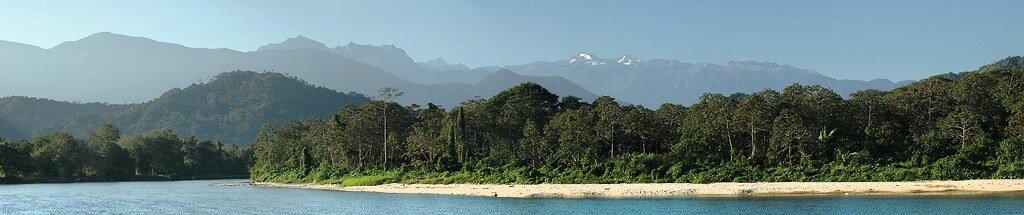
1. Caribbean sea from the Santa Marta Sierra Nevada highest coastal mountains in the world...
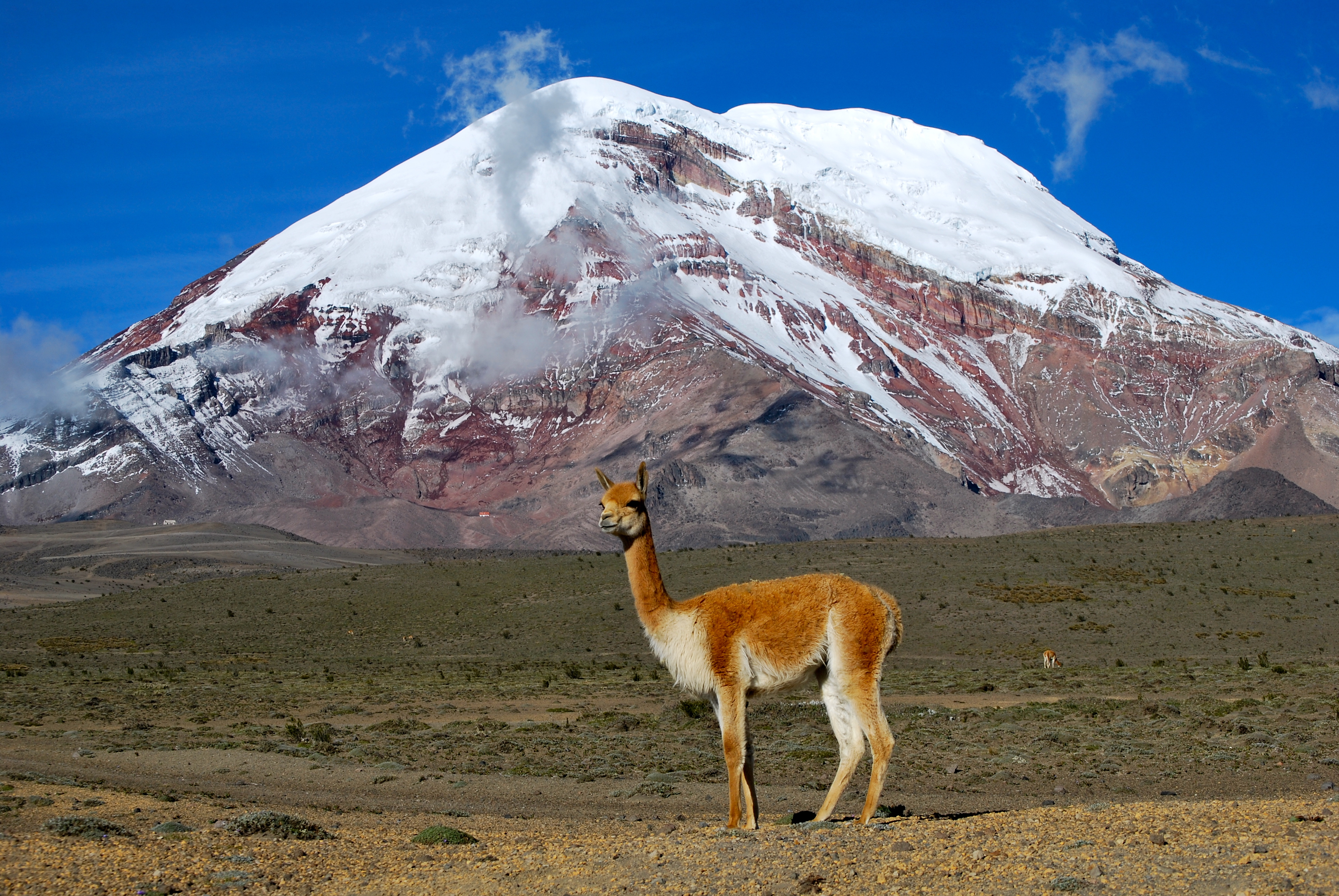
In Ecuador, it is the Chimborazo volcano/mountain with 6,263 m (20,548 ft) elevation, located in the Andes range (cordillera). The top completely covered by glaciers.
On clear days and with certain conditions, the summit can be seen from the coastal city of Guayaquil.
The summit of Mount Everest reaches a higher elevation above sea level, but the summit of Chimborazo is widely reported to be the farthest point on the surface from earth's center. (https://en.wikipedia.org/wiki/Chimborazo)
Please register to post and access all features of our very popular forum. It is free and quick. Over $68,000 in prizes has already been given out to active posters on our forum. Additional giveaways are planned.
Detailed information about all U.S. cities, counties, and zip codes on our site: City-data.com.

 Please register to participate in our discussions with 2 million other members - it's free and quick! Some forums can only be seen by registered members. After you create your account, you'll be able to customize options and access all our 15,000 new posts/day with fewer ads.