Please register to participate in our discussions with 2 million other members - it's free and quick! Some forums can only be seen by registered members. After you create your account, you'll be able to customize options and access all our 15,000 new posts/day with fewer ads.
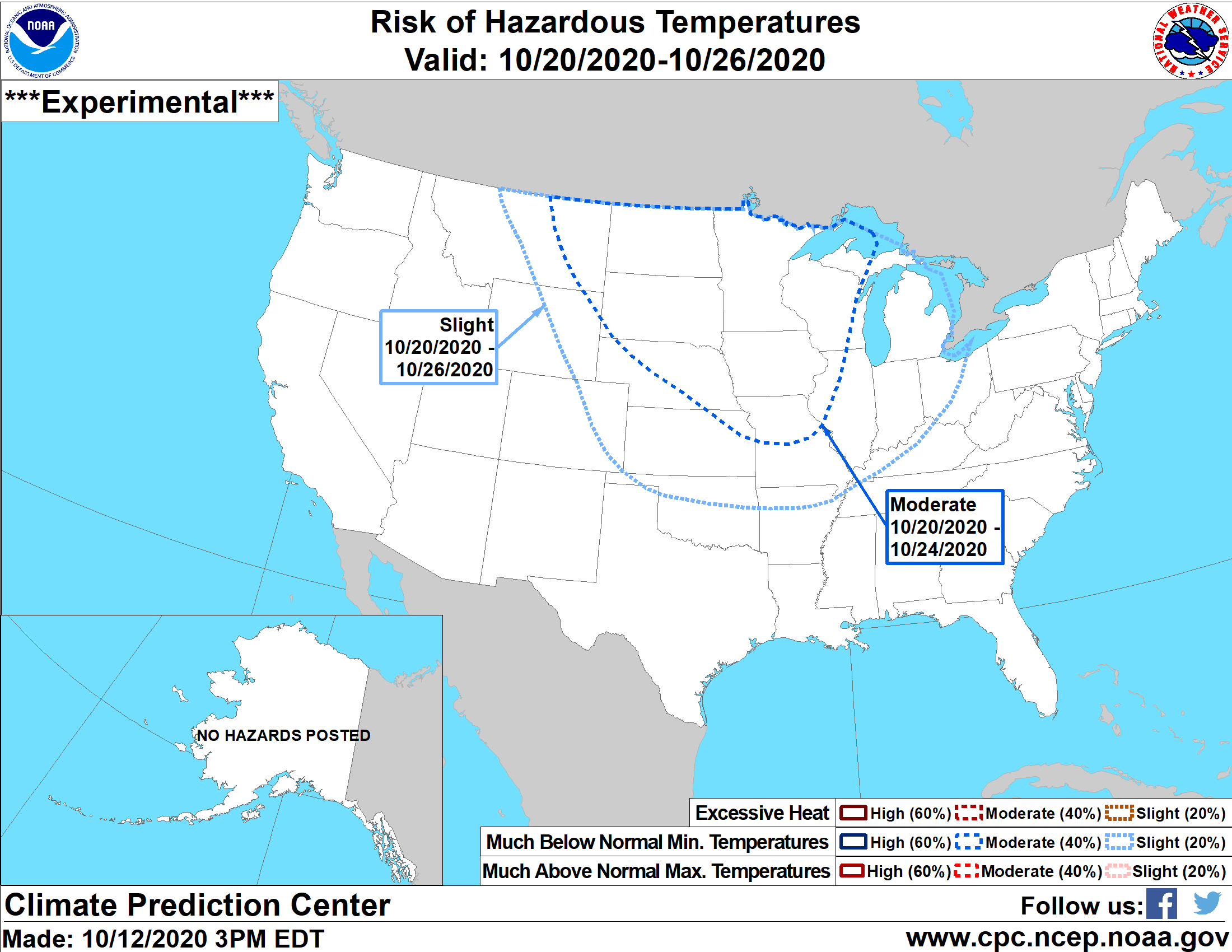
Record low maximum for Baltimore for October 12 is 44°F/6.7°C. Now that would have been an interesting day!
Might have been in 1888. That winter was one for the record books. Also, the Midwest radar looks like we might get a derecho tonight ahead of an occluded front. I hope that doesn’t happen .
Might have been in 1888. That winter was one for the record books. Also, the Midwest radar looks like we might get a derecho tonight ahead of an occluded front. I hope that doesn’t happen .
It was 1891. On the same day the maximum in Tampa was 68°F so chilly all the way down the East Coast.
Interesting surface analysis this morning with a strong low over northwestern Manitoba drawing warm air north of the arctic circle. The "rain vs snow line" currently extends almost all the way to the Canadian Arctic Archipelago.
Just north of the rain-snow line Gjoa Haven is under a winter storm warning with near blizzard conditions expected to develop. Up to 30 cm of snow--quite unusual for a single event at these latitudes. Here's the discussion from the Arctic Storm Prediction Centre.
Quote:
ARCTIC...THE NORTHWESTERN MANITOBA LOW WILL SLOWLY MOVE TOWARD THE NORTHEAST OVER THE NEXT COUPLE OF DAYS. THE KIVALLIQ WILL SEE STRONG, BUT SUB-WARNING, WINDS FROM THIS SYSTEM. THE STRONGEST GRADIENT WILL MOVE OUT OF THE CENTRAL KIVALLIQ THIS AFTERNOON AND INTO THE NAUJAAT REGION TONIGHT. PROG TEPHIS CONTINUE TO INDICATE INSTABILITY IN THE LOW LEVELS WITH WINDS NEAR 50 KTS IN THE MIXED LAYER. AS A RESULT WIND GUSTS OF 80 KM/H ARE EXPECTED WITH GUSTS NEAR 90 KM/H POSSIBLE. WINDS MAY BE SLIGHTLY ENHANCED IN THE NAUJAAT AREA DUE TO LOCAL FUNNELLING DOWN REPULSE BAY. ATTM WE WILL CONTINUE TO INDICATE WIND GUSTS OF 80 KM/H IN THE PUBLIC FORECAST BUT WILL MONITOR CLOSELY.
THE KITIKMEOT REGION WILL SEE MORE SIGNIFICANT SNOW AS THE SYSTEM PUSHES NORTHWARD. TOTAL SNOWFALL AMOUNTS FROM MONDAY EVENING TO WEDNESDAY COULD BE BETWEEN 10 AND 30 CM. GJOA HAVEN IS EXPECTED TO GET THE WORST, WITH STRONG WINDS GUSTING TO 80 KM/H AND POSSIBLY AS STRONG AS 90 KM/H AND UP TO 30 CM OF SNOW, THUS THEY HAVE A WINTER STORM WARNING, AS NOT ENOUGH SNOW CURRENTLY EXISTS ON THE GROUND FOR TRUE BLOWING SNOW AND BLIZZARD CONDITIONS. TALOYOAK AND KUGAARUK WILL BE WARMER, AND MIGHT HAVE SOME FREEZING RAIN OR RAIN MIXED IN WITH THE SNOW. THE AMOUNT OF SNOW AND BLOWING SNOW THEY GET WILL DEPEND ON THE EXACT TRACK OF THE LOW, WHICH SEEMS TO BE TREANDING FURTHER TO THE WEST, BASED ON THE NEWER 12Z RUN. IF THE LOW TRACKS FURTHER EAST, THEN THEY WILL GET WINTER STORM CONDITIONS. IF THE LOW TRACKS FURTHER WEST, THEN THEY WILL NOT, AS WARMER AIR FROM THE WARM SECTOR OF THE LOW WILL TRANSITION THE PRECIPITATION TO RAIN OR WET SNOW. GJOA HAVEN IS EXPECTED TO GET A WINTER STORM REGARDLESS OF THE LOW TRACK BEING MORE TO THE EAST OR WEST. IF THE WESTERN TRACK ENDS UP BEING THE TRACK OF THE SYSTEM, THEN CAMBRIDGE BAY WILL LIKELY NEED A SNOWFALL WARNING. IF THERE IS GOOD MODEL AGREEMENT ON THE WESTERN SOLUTION, THEN A SNOWFALL WARNING FOR CAMBRIDGE BAY WILL BE ISSUED LATER THIS AFTERNOON.
Interesting surface analysis this morning with a strong low over northwestern Manitoba drawing warm air north of the arctic circle. The "rain vs snow line" currently extends almost all the way to the Canadian Arctic Archipelago.
Just north of the rain-snow line Gjoa Haven is under a winter storm warning with near blizzard conditions expected to develop. Up to 30 cm of snow--quite unusual for a single event at these latitudes. Here's the discussion from the Arctic Storm Prediction Centre.
My main concern, will there be a derecho tonight ?
No. That line of storms has a few sporadic warnings on it, but nothing spectacular. The dynamics aren't right for that type of severe event, especially as it won't get to the Detroit area before dark.
No. That line of storms has a few sporadic warnings on it, but nothing spectacular. The dynamics aren't right for that type of severe event, especially as it won't get to the Detroit area before dark.
Ok. If it’s just regular rain I’m ok. I just can’t afford to lose power, because then I’m stuck with unpaid leave.
Had been dreary since Thursday night. Even had some more rain showers this morning before noon. Finally cleared up just after noon. Need it to dry out. Had a DP right around 70 for a few days. Finally in the mid 60s. Should drop more.
After some 80s forecast, we're now looking to just get around 76-77 the next few days then yet another weekend cool down. Last week could easily be the last 80s we see til probably March.
Please register to post and access all features of our very popular forum. It is free and quick. Over $68,000 in prizes has already been given out to active posters on our forum. Additional giveaways are planned.
Detailed information about all U.S. cities, counties, and zip codes on our site: City-data.com.

 Please register to participate in our discussions with 2 million other members - it's free and quick! Some forums can only be seen by registered members. After you create your account, you'll be able to customize options and access all our 15,000 new posts/day with fewer ads.

 .
.