Please register to participate in our discussions with 2 million other members - it's free and quick! Some forums can only be seen by registered members. After you create your account, you'll be able to customize options and access all our 15,000 new posts/day with fewer ads.
Since when does a Clipper dive south to the Gulf Of Mexico? THAT is rare to see. So GFS may be drunk? But the Canadian and German Models do the something similar bringing the clipper to the Southeast.
Then what happens??????? Latest GFS says Storm comes up the coast and blows up into a Blizzard for I-95 from Virginia to Maine Sunday-Monday. Euro and Canadian bring it out to sea
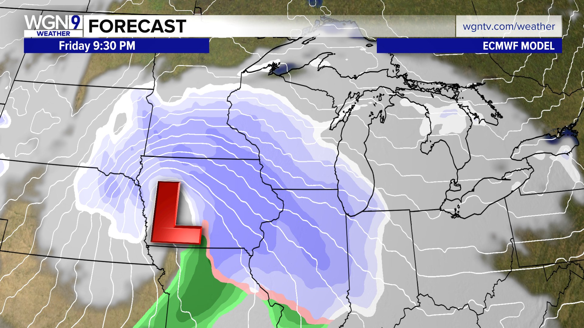
Will we finally get a decent snowfall this weekend in Indianapolis? Maybe or maybe not. Some models have multiple inches coming our way. Some have us barely with a half inch. And if the system trends further south we could end up once again with no snow. The NWS currently has snow likely Friday night. Accuweather has been consistent with a dusting to a half inch Friday night into Saturday morning. Both Weather Underground and the Weather Channel have gone from almost 2 inches of snow to not even mentioning snow for Indianapolis. From the NWS Indianapolis forecast discussion this morning:
Quote:
As we are still several days out, there is some variability
on the strength, timing, and track of this low, but there is
agreement at least in the low/ trough swinging across the SE states
this weekend. Some deterministic models are showing multiple inches
of snow with this wave while others show maybe half an inch, so
confidence is still low at this time and it`s too early to try to
nail down any specifics. The thermal profiles do at least support
snow, but much will depend on how far south the low ends up
tracking. If it ends up trending further south, central Indiana may
even end up being missed again for a decent snow event.
Will we finally get a decent snowfall this weekend in Indianapolis? Maybe or maybe not. Some models have multiple inches coming our way. Some have us barely with a half inch. And if the system trends further south we could end up once again with no snow. The NWS currently has snow likely Friday night. Accuweather has been consistent with a dusting to a half inch Friday night into Saturday morning. Both Weather Underground and the Weather Channel have gone from almost 2 inches of snow to not even mentioning snow for Indianapolis. From the NWS Indianapolis forecast discussion this morning:
Thats the one I'm watching! If we use the trend is your friend approach that means its gonna miss you. Not sure if I want that yet.
For those that like the teleconnections the MJO is tanking(weakening La Nina), the NAO is going neg(Greenland Block) and PNA is going slightly positive( east trough). So the east coast could get something big out of this.
Please register to post and access all features of our very popular forum. It is free and quick. Over $68,000 in prizes has already been given out to active posters on our forum. Additional giveaways are planned.
Detailed information about all U.S. cities, counties, and zip codes on our site: City-data.com.


 Please register to participate in our discussions with 2 million other members - it's free and quick! Some forums can only be seen by registered members. After you create your account, you'll be able to customize options and access all our 15,000 new posts/day with fewer ads.


 THAT is rare to see. So GFS may be drunk? But the Canadian and German Models do the something similar bringing the clipper to the Southeast.


