Please register to participate in our discussions with 2 million other members - it's free and quick! Some forums can only be seen by registered members. After you create your account, you'll be able to customize options and access all our 15,000 new posts/day with fewer ads.
Radical record temperature rise
The greatest temperature swing ever recorded in North America occurred in Spearfish, South Dakota on January 22, 1943. The temperature at 7:30 a.m. was –4°F. Two minutes later, the temperature had risen to 45°F, the fastest warmup ever recorded in the U.S. By 8:45 a.m., the temp reached 55°F — before plummeting back to 0°F 45 minutes later. A recording thermometer at the Montana-Dakota Utilities building documented the event for history. On the left is the original thermograph, and on the right is the temperature data on a flat graph for easier viewing
Oh yeah I forgot that N.I. is only a solid swim or so away from Iceland, so it must be frigid
Don't forget too that if only Northern Ireland had 20000 ft mountains those mountains would be pretty snowy so it counts as a snowy country anyway. Plus if you lie about the climate it's actually -20C most of the winter
Ok.. lets do this again. Feels like once a month I've been looking at some stuff and trying to grasp the long range. Lets see if I can go 3 for 3.
Current water vapor image showing some interesting things.
1. that dry air diving south right into the Sub Jet. Look at the sub jet like a constant faucet stream going into Mexico and U.S. If that gets shut off, then moisture needed for storms gets starved (but can still tap the Gulf of Mexico for it)
I noticed it's narrow now AND is slowly getting choked off by the sinking dry air.
I have to keep an eye on whether the Sub jet activates again, otherwise the potential for stormy weather in the U.S is much much less.
2. The black arrows show strong convection over the pacific. That might be the key in getting that Sub jet juicy again soon which I think will happen after mid month.
3. The curling line is around a strong Upper Low in the Gulf of Alaska which is digging a trough southwards. That means it's popping and pushing the Ridge Eastwards. In other words, there's still a ridge out West which is keeping this overall pattern in place as we warm up in the East. In other words this warm up is temporary and the cold NW flow will return.
So, if there are less storms in northern Pacific and more dry air cutting the moisture source than I will say winter is done for the East. I can then see the southeast ridge building back up.
That's not what I'm thinking right now... Ridge should stay out west and that will carve a trough in center and eastern part of the U.S and the sub jet will come back to life . So I think Jan 20 to end of February becomes active again with the Jan26-Feb15 period the peak). I might even stretch it and call for an early Spring to roll around. We'll see.
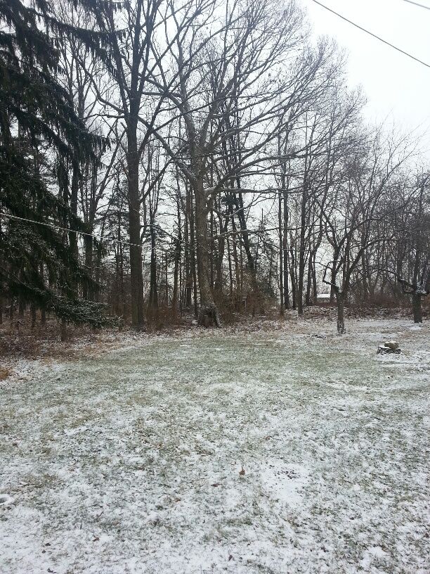
10F this morning with light snow of about an inch. It's about 26F now and cloudy.
Please register to post and access all features of our very popular forum. It is free and quick. Over $68,000 in prizes has already been given out to active posters on our forum. Additional giveaways are planned.
Detailed information about all U.S. cities, counties, and zip codes on our site: City-data.com.

 Please register to participate in our discussions with 2 million other members - it's free and quick! Some forums can only be seen by registered members. After you create your account, you'll be able to customize options and access all our 15,000 new posts/day with fewer ads.