Please register to participate in our discussions with 2 million other members - it's free and quick! Some forums can only be seen by registered members. After you create your account, you'll be able to customize options and access all our 15,000 new posts/day with fewer ads.
See the red/pink box links and those, especially "Storm Surge Warning" will detail what's currently expected (winds, surge, etc) per whenever they last updated it. Updated 646p (edit: they should update again soon-ish tonight now that the 11p hurricane advisory came out) so a little behind and says winds:
" Equivalent Cat 2 Hurricane force wind
- Peak Wind Forecast: 90-110 mph with gusts to 135 mph
- Window for Tropical Storm force winds: early Sunday morning until Monday afternoon
- Window for Hurricane force winds: Sunday afternoon until early Monday morning"
And the 11pm "most likley arrival" time map of Tropical storm winds says starting there around or just after 8am Sunday: Attachment 190080
They think they are going to be able to drive at 8am to there shelter house snd make a second trip after dropping off stuff
I think they are screwed
My husband is using some weather app on his phone showing 30-40 mi an hour at that time
But the link I posted does not show as higj ad your link
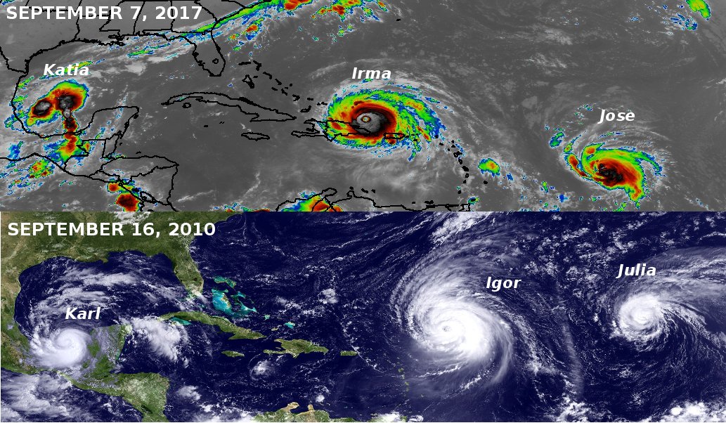
Hurricane Irma Discussion Number 44
NWS National Hurricane Center Miami FL AL112017
1100 PM EDT Sat Sep 09 2017
Irma's nearly 24-hour traversal of the north coast of Cuba appears
to have affected the hurricane's structure and intensity. An
earlier NOAA Hurricane Hunter aircraft and a more recent Air Force
reconnaissance flight both measured maximum flight-level winds near
105 kt and surface winds near 95 kt. The planes have reported
a double eyewall structure, which has also been observed in WSR-88D
Doppler radar data from Miami and Key West. Irma's intensity has
been conservatively lowered to 105 kt, and I'd rather wait to lower
the winds further until we've seen the full data set from the Air
Force mission.
Irma has stuttered near the north coast of Cuba for the past few
hours, which may be a harbinger of the north-northwestward turn
that we've been waiting for. In any event, Irma appears to be
moving very slowly toward the northwest, or 305/5 kt, very gradually
shifting away from the north coast of Cuba. With the hurricane
located near a break in the subtropical ridge, it should turn
north-northwestward soon and accelerate near or along the west
coast of Florida during the next 36-48 hours. Because of Irma's
hesitation to move northwestward, the new track guidance has shifted
ever so slightly westward, and the new NHC track is just a little
left of the previous one. Although it is likely that the eye will
move near or over the Lower Keys Sunday morning, the hurricane's
angle of approach to the west coast of Florida makes it very
difficult to pinpoint exactly where Irma will cross the Florida Gulf
coast.
If an eyewall replacement occurs within the next 6-12 hours, Irma
has an opportunity to restrengthen a bit while it moves across the
Straits of Florida. After that time, however, southwesterly shear
is expected to increase to 25-30 kt in about 24 hours and then
continue increasing through 48 hours. This shear, in addition to
Irma's core interacting with Florida, is likely to cause a
weakening trend after 24 hours. The new intensity guidance calls
for an adjustment from the previous forecast, although it
conservatively lies near the upper bound of the reliable models.
Irma is still expected to approach the Florida Keys and Florida
west coast as a major hurricane, and combined with its large size,
will produce significant storm surge flooding in those areas.
Location: Big Island of Hawaii & HOT BuOYS Sailing Vessel
5,277 posts, read 2,801,130 times
Reputation: 1932
Key West Airport 986 Gusts to 59 knots
Lowest buoy pressure also 986
The eye of Irma is about 1/3rd way across to Southern Florida.
Next update is not 2-3 hours otherwise would tell you direction official.
Unofficially, this past hour it has headed almost due North and will make landfall near Naples if it maintains this course.
Wave model shows Key West will soon see 34 foot waves plus surge. Given the highest point of the island is 18 ft above sea level, I hope this model is wrong.
Good for my area I think but Naples/Marco Island nd are beautiful places
Sorry to know the damage that will happen...
Hope anyone near LZ took shelter
Those in Rockport where Harvey made landfall took a bomb blast and it is not nearly as large or built-up...
Location: Big Island of Hawaii & HOT BuOYS Sailing Vessel
5,277 posts, read 2,801,130 times
Reputation: 1932
Correction,
I have been claiming Zulu time and London time are the same. Actually not currently. London is on daylight savings time right now.
We have to wait till 0900 GMT for next forecast. That is not for just over 2 more hours. I will give two direction updates based on the model I use.
Please register to post and access all features of our very popular forum. It is free and quick. Over $68,000 in prizes has already been given out to active posters on our forum. Additional giveaways are planned.
Detailed information about all U.S. cities, counties, and zip codes on our site: City-data.com.

 Please register to participate in our discussions with 2 million other members - it's free and quick! Some forums can only be seen by registered members. After you create your account, you'll be able to customize options and access all our 15,000 new posts/day with fewer ads.