Please register to participate in our discussions with 2 million other members - it's free and quick! Some forums can only be seen by registered members. After you create your account, you'll be able to customize options and access all our 15,000 new posts/day with fewer ads.
Excellent morning here, especially for late November. Mon/Tues look December-like, nothing extreme, but it's short lived (thank god lol).
Yup, same song and dance, right? Cold, then Jet Stream lifts north and we moderate again. Warmth / Seasonable temps lasting longer than cold below normal
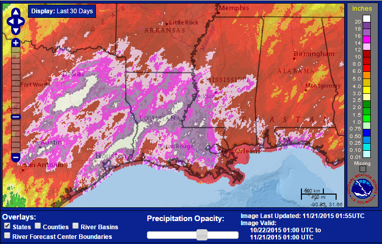
BTW .. How about this.... Sioux City, Iowa OBS and Forecast.
Wow, lows in the teens next 2 nights and Highs in the 20s tomorrow. Any snow on ground wont be melting much for few days. Saturdays sunlight will do some damage. I'm guessing melt 2" off? Then another 2-3" Sunday.
Mid 30sF are forecast here for both Monday and Tuesday mornings, maybe our first frost? Currently a little chilly in the low 50s.
You must be in Mobile. Northern and Central Alabama are expecting a freeze early next week.
Quote:
Originally Posted by Cambium
Come on Florida. I'm rooting for you. Nobody should have to deal with misery like what you been through past few months
Going to be watching KMIA like a hawk early next week for their first low below 70 F. If Miami starts cooling down, hopefully that's a sign the ridge out in the Atlantic caused by the positive NAO is weakening.
I see 49/28 forecast for Sunday and 47/30 for Monday. It'll be nice to have some legitimate cold around for a couple of days, but it's nothing compared to what we got the past two Novembers.
At least it won't be enough to erase this November's warm anomalies.
I am a little concerned that we seem to be either warm and wet or cold and dry. That's not a good pattern for snow in winter.
First snow map of the season from NWS in Northeast. Just called my sister. Left a message. Kinda went like this. "You lucky witch, enjoy!" LOL! Just Kidding. Gave them a heads up on start times and stuff.
They are in the 6-8" range so close to the heavy zone
First snow map of the season from NWS in Northeast. Just called my sister. Left a message. Kinda went like this. "You lucky witch, enjoy!" LOL! Just Kidding. Gave them a heads up on start times and stuff.
They are in the 6-8" range so close to the heavy zone
Not a fan of that area of NY state at all minus the snow aspect. I'm sure some people like it, though.
Please register to post and access all features of our very popular forum. It is free and quick. Over $68,000 in prizes has already been given out to active posters on our forum. Additional giveaways are planned.
Detailed information about all U.S. cities, counties, and zip codes on our site: City-data.com.

 Please register to participate in our discussions with 2 million other members - it's free and quick! Some forums can only be seen by registered members. After you create your account, you'll be able to customize options and access all our 15,000 new posts/day with fewer ads.