Please register to participate in our discussions with 2 million other members - it's free and quick! Some forums can only be seen by registered members. After you create your account, you'll be able to customize options and access all our 15,000 new posts/day with fewer ads.
Temps are looking cooler for Christmas and precip chances down. Wunderground now shows 62/39F Christmas Day and highs in the 50's and lows in the 30's the remainder of next week afterward.
Christmas Eve still looking wet (1 - 1.5" of rain forecast) with high of 65F.
We're supposed to get a messy mix that might include up to about 1" of snow overnight, but with the forecast suggests it'll melt by Christmas morning due to temps in the 40s.
Dec 22: 32F/25F
Dec 23: 36F/34F
Dec 24: 41F/37F
Dec 25: 48F/43F
Dec 26: 45F/39F
Dec 27: 41F/34F
Dec 28: 37F/28F
Backloaded winter which almost certainly will last through a good part of March
Trend toward negative global wind anomalies by second half of 11-15 day may open door for cooler to colder U.S. volatility, particularly targeting January 12th EIA week
Cold in Eastern Asia lately. Hong Kong had temperatures close to 10°C/50°F all day in the last days. Shanghai is having sub-freezing highs. Still impresses me how cold it can get in such low latitudes around there.
Here in Saskatoon it will keep extremely above average until at least the last day of the year. The warmest December ever recorded was in 1997 with an average of -5.7°C. December 2023 has an average of -4.7°C by now. It’s gonna break the record.
Backloaded winter which almost certainly will last through a good part of March
Trend toward negative global wind anomalies by second half of 11-15 day may open door for cooler to colder U.S. volatility, particularly targeting January 12th EIA week
Rain today. High was 46F/8C here 47F at Midway and 45F at ORD.
Quote:
Originally Posted by LKJ1988
No cold for FL or much rain this winter.
You sure about that?
I also like what I'm seeing with the retrograde of that big warm anomaly over Canada we need to bring people going westward. Looks like a very stormy pattern
Rain today. High was 46F/8C here 47F at Midway and 45F at ORD.
You sure about that?
I also like what I'm seeing with the retrograde of that big warm anomaly over Canada we need to bring people going westward. Looks like a very stormy pattern
Have not seen 1980's winters since the 1980's when temps were 19 to 24f in Tampa 6 years in a row.
Now if i get down to 22f and a high of 41f then i will call that cold. I have been happy with the weather the last 3 weeks as no 80's . I don't mind 70's in Dec but 80's is insane like it was in Dec of 1988. Then BOOM Dec 1989 was very active and cold. But once 1990 got here it changed for good to warm.
Give anything if this was Xmas of 1983 when a super front came thru in the am and we went from 60's to 19f in under 20 hours and winds were 45 knts and a high of 38f in Tampa. Now that was real winters.
Today marks the one year anniversary of the somewhat widespread December 23 2022 'great performance' first frosts in the Southeast US. Some places already got frost (although with good performances), others are still going.
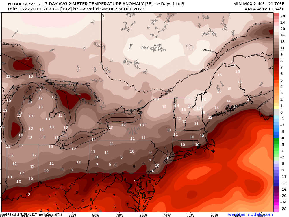
In stark contrast there is excellent warmth monitoring today. Warm highs in the teens and 20s pretty much everywhere, and a lot of double digit lows too.
Time to toss the GFS model out for awhile, less than zero run to run consistently. Euro model has been better per usual.
Please register to post and access all features of our very popular forum. It is free and quick. Over $68,000 in prizes has already been given out to active posters on our forum. Additional giveaways are planned.
Detailed information about all U.S. cities, counties, and zip codes on our site: City-data.com.

 Please register to participate in our discussions with 2 million other members - it's free and quick! Some forums can only be seen by registered members. After you create your account, you'll be able to customize options and access all our 15,000 new posts/day with fewer ads.


 :
:


 . Warm highs in the teens and 20s pretty much everywhere, and a lot of double digit lows too.
