From Wednesday, haven't gotten around to posting these. The gloomy, cold drizzle last week was annoying. Why not be where there's a chance of fresh snow? Wednesday morning roadside mountain view:

Solid white up there! Snow almost gone in the low elevations. Hiking up the other side. Right at the trailhead. Started at 10 am. Temperature around freezing.

Trail was rather packed down. There had been a been a bit of snow of overnight and the day before, but hikers who got there earlier packed it down. Wetter snow than the stuff we got this winter. I remember the trail following a river, but it was mostly frozen.

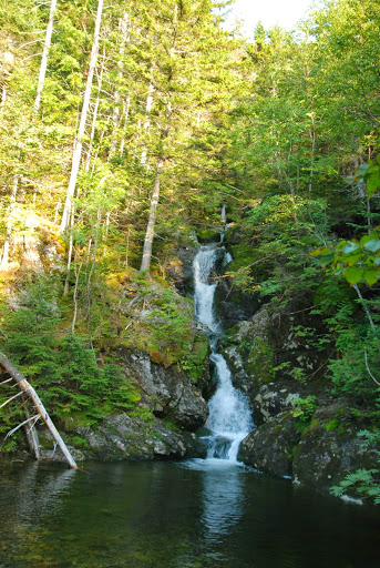
Gem Pool. After this, the trail gets much steeper. I remember the Gem Pool being much larger and more interesting looking; I didn't recognize it at first. Here's what it looked like in August:
A local I saw at the gem poll, trail continues up the slope to the right.
I ate an apple at the gem pool, then the core into the woods. Five minutes later I saw someone found a use for my apple core. Recycling!

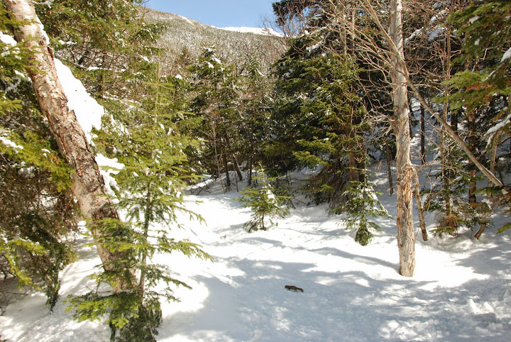
Next up 1550 feet in one mile. The first half is steeper, trail looks like a staircase. Not in the winter. Rock were well covered by snow. The steep parts look like a bit unnerving to descend, could turn into an unexpected slide without good use of traction. Trail starting to open up:

In warm weather, there'd be small waterfalls in that view:
only small pools in the stream. Could be nasty if there were lots of ice:

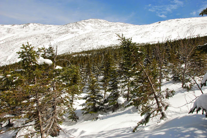
Still blue sky:
Was just after noon. Sun felt strong. With black pants, boots and gloves, and a dark red jacket, the sun was making me very warm. Don't hike in dark colored clothes. I ended up sunburning on my cheeks. Clouded over as it got above treeline:

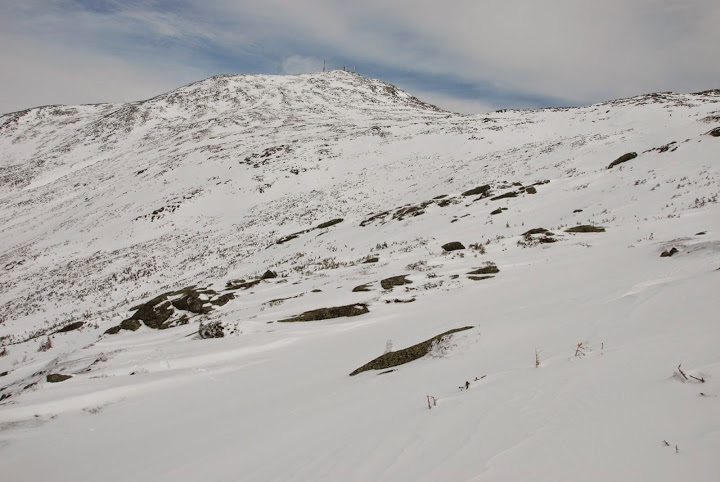
Still a little blue over Washington:
At the trail end, there were 6-10 people around. I took a well-deserved break after the long climbsummited a smaller side peak (Monroe). There were a bunch of skiers doing short jumps off the steep north side. I ignored the trail most of the way up and down, destination was rather obvious, just pick whichever way has better footing.

Same spot last August:
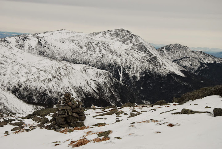
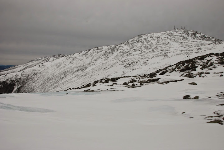
Icy rock, with some mountains to the south in the background:

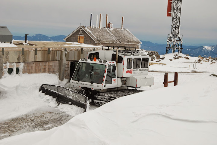
I also got to summit the Lake of the Clouds Hut. Mountain I just climbed in the background:

here's the building I climbed:
Looking north to Washington. I think that's supposed to be a lake. Frozen solid enough to walk on? I see cairns in the distance, but the exact trail route isn't clear. Hopefully I'm avoiding the lake?
Now I have 1.5 miles to go with 1300 feet of elevation gain, not as hard as before. Beginning was a relatively gentle slope, though it got steep in the second half close to the summit. The snow slope was an odd surface. almost icy, but not completely quite smooth. Looked a bit dicey, but was fine with my snowshoes, which had good "teeth". Followed prints, sometimes just went wherever, the cairns sometimes appeared to be not the best snow surface. Wasn't too cold, never put on a "real" winter coat" but did switch to mittens for a while. About 100-200 feet below the summit, there was exposed rock, which is pain, especially with snowshoes. I was getting tired, tempted just to skip the summit and avoid all the rocks. But that would be silly... The summit was a maze of buildings without the usual tourist hordes. Met two mountaineering guides who had ski up. And a couple who had brought beercans with them. The woman was smoking a cigarette.

They were planning on snowboarding down. Clearly better hikers than me if they could drink and smoke in the middle of a big hike! Sometime while I was at the top it reached 30°F and nearly calm (5 mph) wind! But it had been windy before. It doesn't take a weatherman to know which way the wind blew...
though just in case, a weatherman was nearby. His idling vehicle noise was annoying me...
Despite the placid weather, the darkening skies to the west looked ominous. Getting fogged over would make it easier to get lost. After over half an hour relaxing on the top, time to go down. Photo tip: underexpose and the weather looks more ominous:

Marked trail, but goad was to go continue down along the ridge ahead for 1.4 miles until a trail junction that would lead me down the ridge.

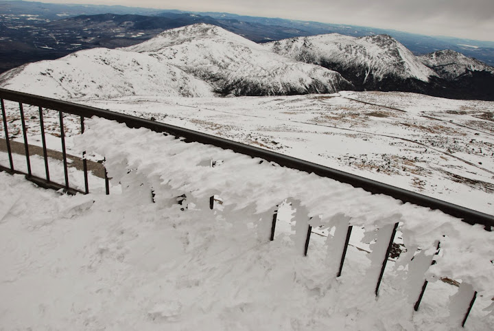
Cross the cog railway tracks:

Mt. Washington got over a foot of snow in the last few days. Where'd it all go?! Don't see any fresh snow. Got blasted into the ravines to the east. What remained is wind-blasted snow that gotten a bit of rain five days ago, that was often rather crusty. I'd kick up small chunks walking of snow walking, that looked more solid than powder. On a slope, those pieces just started sliding down the mountains as if the mountain surface was smooth. On the cog railway tracks:

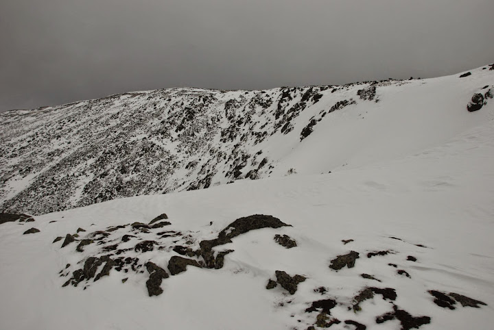
The trail headed within a few feet of a ravine headwall (Great Gulf) up ahead:

Even though I hadn't had any problems slipping being too close to the edge on snow looked scary. I found my own route. It's a long way down, slope is above 50° in long parts. Do NOT stand near the edge of the Great Gulf:

Great Gulf headwall:
Nice stratus:
Uh-oh. Mountains in the distance in snow flurries:

Had taken a rest for a while. Wind had picked a bit and got a bit cooler but still was tolerable. Temperature profile was interestingly flat with altitude [yes, I checked that website on my phone while stopping]:
My hand got rather cold from being bare too often when taking photos of going through stuff, putting mittens back on rather than gloves helped. After going down a bit:

Close-up of the cog railway's "Jacob's Ladder"
Trail going down follows the spine of this ridge. Might look scary but wasn't. Trail would have been hard to follow with prints from previous hikers.
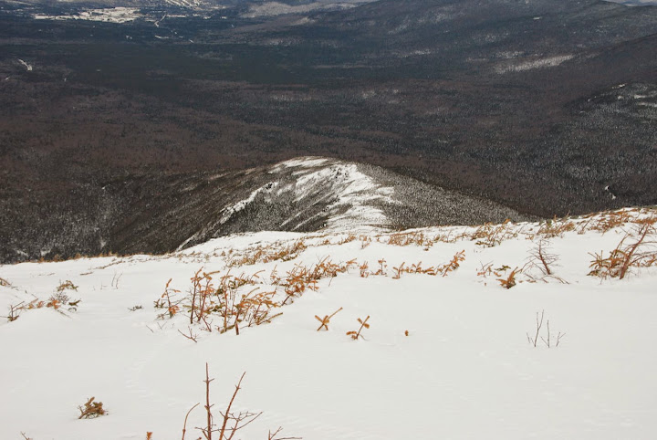
Looking back at Washington:

Trail was narrow into the trees:

sky definitely darkening

mountains fogged over, snowing lightly:

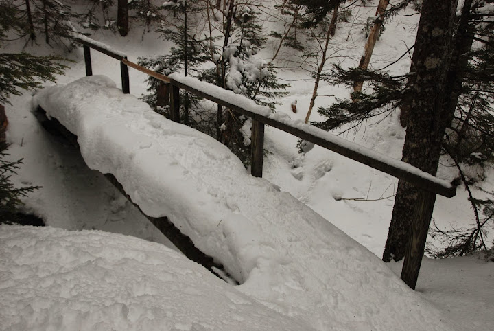
snow-covered bridge:
at the other end of the cog:
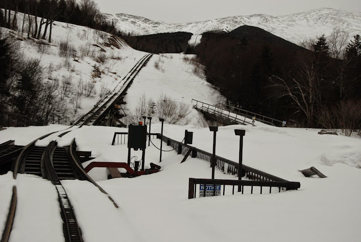
Antique railroad equiment

Snow got harder by the time I got the parking lot, but on the drive back no snow, only higher elevations had snow. roadside view:

 Please register to participate in our discussions with 2 million other members - it's free and quick! Some forums can only be seen by registered members. After you create your account, you'll be able to customize options and access all our 15,000 new posts/day with fewer ads.