Please register to participate in our discussions with 2 million other members - it's free and quick! Some forums can only be seen by registered members. After you create your account, you'll be able to customize options and access all our 15,000 new posts/day with fewer ads.
As much as it may get on the nerves of members like Tom77falcons, this is one of the reasons I love Southeast US weather monitoring so much. Nowhere else has such wild, fun-to-monitor swings between hot and cold weather and everything in between all winter long in the Southeast US way.
Quote:
Originally Posted by Can't think of username
There's perhaps a bigger surprise between Savannah and points north than there is between North and South Georgia. Savannah Airport has reached 21C which is 4C colder than Charleston Airport and is only as warm as Wilmington Airport 2 1/2 degrees north.
^Charleston Airport is providing us with one lovely example of this. Today is 25C/16C (a tropical Miami January day), whereas 3 days ago on January 21 it was 7C/-5C (an almost-continental Wichita January day).
Ahh, the joy of monitoring Southeast US-style wild temperature swings. I can't wait for plenty more of this all the way to March 19.
Lot's of rain in California next week. Should help usher in a lush green spring.... Watch the screaming from global warming fanatics this summer about wildfires in California
Can't buy any real rain. Just gonna be about as dry as last year.
I wonder what the seasonal low will be this winter. So far it's only -17.6C here in Centre Wellington. I'd have to double check, but if we don't beat that number, it may well be the warmest seasonal (winter) low in over 100 years of records here. Unless something happens in mid-late February, I'm not sure we'll beat that -17.6C number, as March tends not to be quite that cold.
So out of the 20 years of records for my local station, the mildest seasonal low was in 2011-2012 at -18.8C, followed by 2005-2006 at -19.3C and 2016-2017 at -20.0C. Currently we're at -17.6C, so we're on track to be the record for now.
However, that's only 20 years of records. At Guelph, there are longer lasting records, but there too, we are still on track to beat the record for mildest seasonal low.
Guelph mildest seasonal low (Nov-Apr)
-17.3C so far 2023-2024
-17.6C 1997-1998
-17.8C 1931-1932
-18.3C 2011-2012
-18.3C 1889-1890
-19.4C 1918-1919
Huge reversal in temperature anomalies coming when compared to the last couple weeks. As of yesterday Chicago/ORD has a temp anomaly of -2.2F and MDW -1.8F. As of the 23rd IKK has a temp anomaly of -3.4F. That's all going to be erased though
At least the days are getting longer
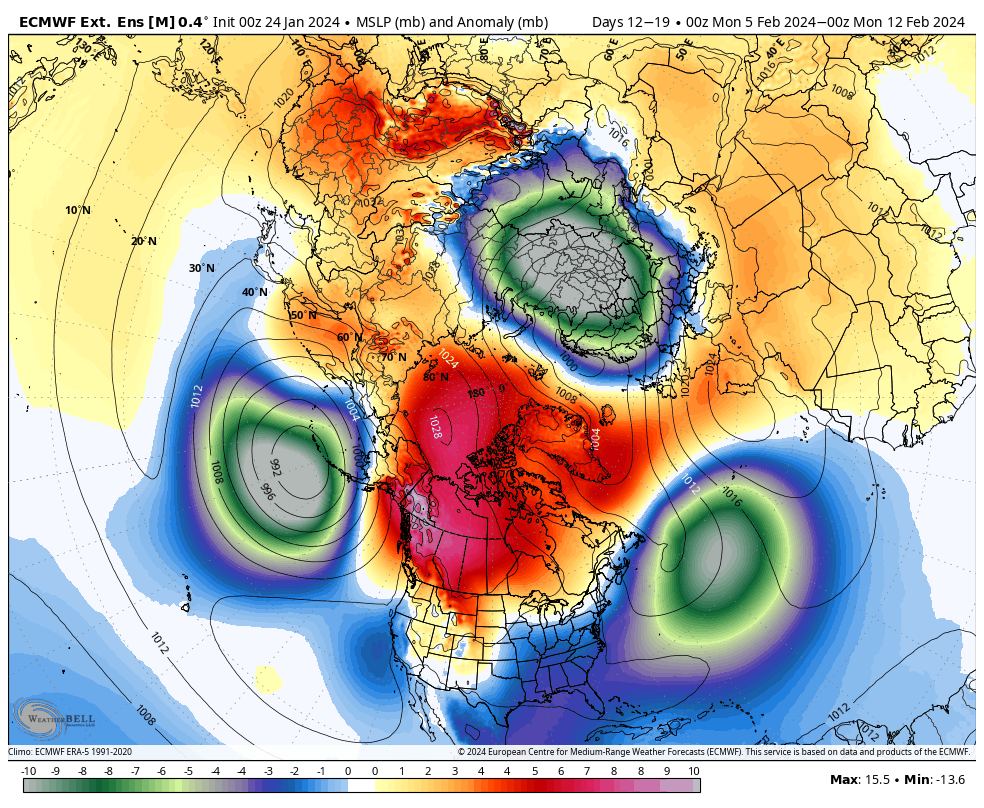
But wait there might be more cold coming after the first 7-10 days of February if the Euro is correct
Huge reversal in temperature anomalies coming when compared to the last couple weeks. As of yesterday Chicago/ORD has a temp anomaly of -2.2F and MDW -1.8F. As of the 23rd IKK has a temp anomaly of -3.4F. That's all going to be erased though
At least the days are getting longer
But wait there might be more cold coming after the first 7-10 days of February if the Euro is correct
Its been the reverse here on the East Coast.
Up until around January 14th/15th...cities like Washington DC, NYC, Bridgeport, CT, Wilmington, DE were 5 and 6 F above normal. Then 7 days of really cold weather knocked all the places back to just 1 - 3 F above normal. Now in the last few days, again mild air has invaded (most cities from Connecticut south to Maryland should see 50s F today and Fri) the means will come up again. But the final day of the month next week should see 1 more cold day (Mon). Will be interesting to see were we land in terms of averages?
Please register to post and access all features of our very popular forum. It is free and quick. Over $68,000 in prizes has already been given out to active posters on our forum. Additional giveaways are planned.
Detailed information about all U.S. cities, counties, and zip codes on our site: City-data.com.

 Please register to participate in our discussions with 2 million other members - it's free and quick! Some forums can only be seen by registered members. After you create your account, you'll be able to customize options and access all our 15,000 new posts/day with fewer ads.


 . Nowhere else has such wild, fun-to-monitor swings between hot and cold weather and everything in between all winter long in the Southeast US way.